Nicely put. One problem with the realtime checkup is that that level of communication and processing of data likely can't happen in the way you described anytime soon.
The sensors they used a while ago spit out 750MB per second. My guess is that they only upload critical errors and path diversions live. Connecting to all cars around, filtering to those that passed this particular road segment, querying them for past data, retrieving their info and running a Bayesian-like algorithm can take quite a while. Longer than it takes to brake, that's for sure.
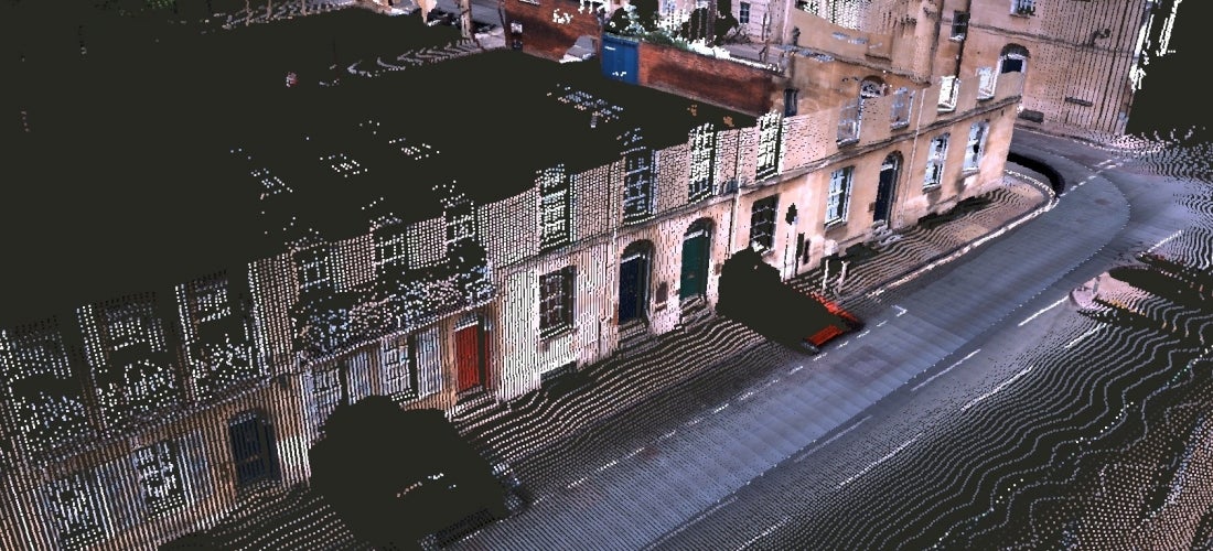
By the way, did I ever show you how your future surveillance state might look like? I found these cool images recently. They take the Lidar data and color every dot according to the camera footage. The first image is from Oxford university, the second and third are from HERE (now bought by Audi / Mercedes / BMW):
Those are fantastic images. I'd love to see more.
I think we can both agree that if Google had a choice between "my version" and "your version" they'd choose "my version." I think we can also both agree that Google has incentive and resources to make "my version" a reality on a timeline complimentary to an autocar rollout - it's not like Google's business model favors low bandwidth. Finally, 750MBps isn't necessary for the discussion -
- (victim) - critical LIDAR error detected - error code - error values (100k or less)
- (adjacent vehicles) - LIDAR query - state - coarse data (100k or less) x however many vehicles are adjacent
- cross-check 100k of data with a half-dozen 100k datasets - not a lot of server time.
I reckon my read isn't too far outside the parameters of "doable" particularly when we're discussing 3G bandwidth and a reasonable response time in seconds. I mean, the car will slow down. The smart move is to assume the operational parameters of the autodrive are compromised and forward motion should be curtailed and the routine should go into failover. But the loop from failover through error correction and backup analysis is a tenths-of-seconds to seconds-scale problem and in the meantime, Google has fired up a digital flare saying "something is fucked up about this intersection."
So whatever reason you had to spoof the LIDAR, you'd best act quick... and you'd best act on the assumption you're on Candid Camera.
I had a longer reply but lost it to an accidental F5 press. The gist of it was that I agree, but that I was thinking more about the decision whether to brake or not - which has to happen almost instantly. What I also now recall is that that is a problem they already tackled with the 2005 DARPA challenge. They had a problem of ghost rocks / ridges appearing in their Lidar data because of the vibration of the sensor: a small vibration and a spinning sensor means that you get vertical displacement that isn't there. Which gets worse the farther away you are. So what they used was a temporal check - was this object here in this shape a millisecond ago? A second ago? If not, the probability that it is an actual thing now is deemed very low. The same logic applies to a suddenly-out-of-nowhere car. It might dazzle the car for a second.
And I found these two pretties! First one is from Ottawa.


