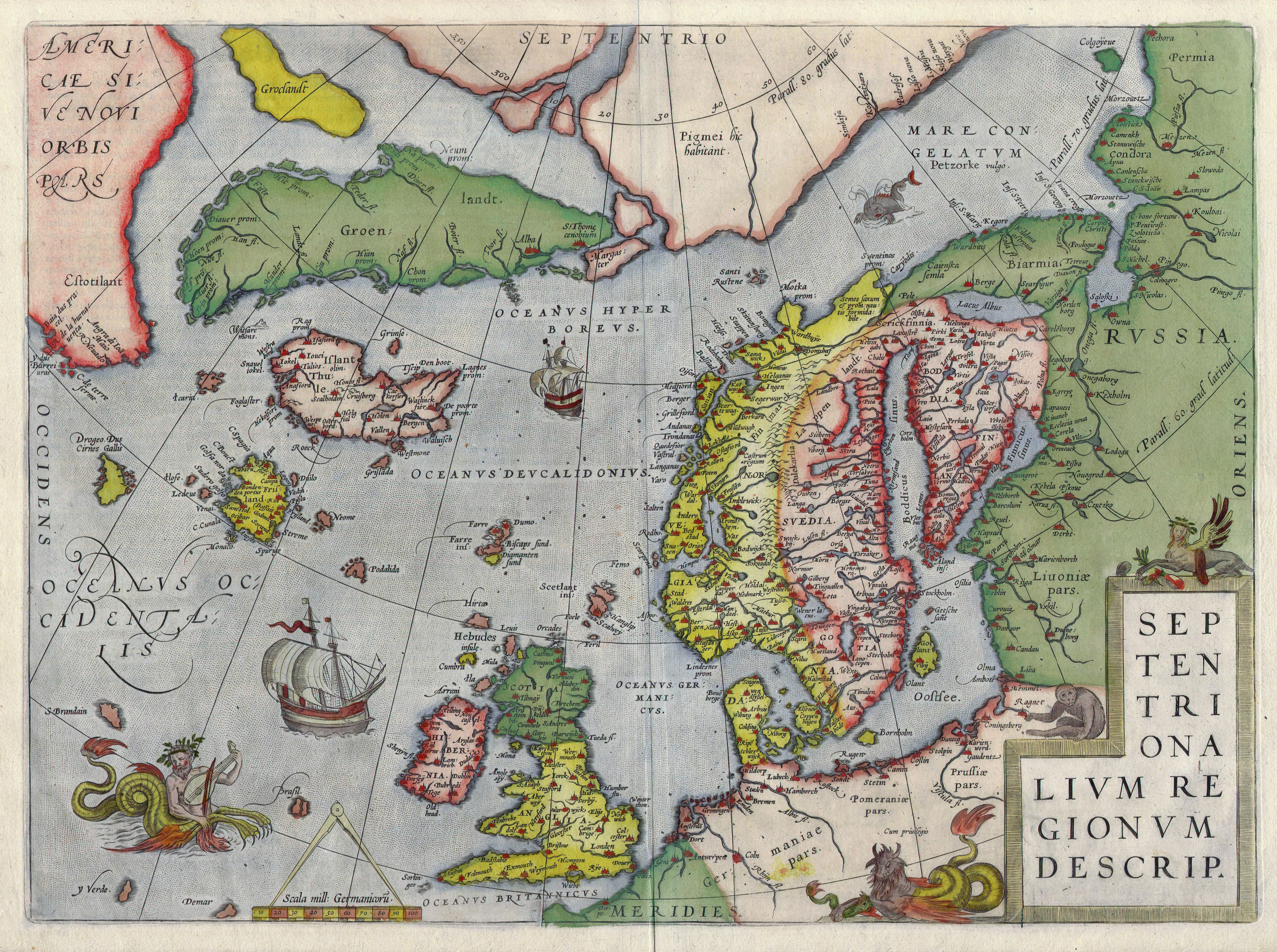
Beautiful map of northern Europe from 1595
by flagamuffin
One of my favorite hobbies is guessing the ages of maps I come across in doctor's offices and antique stores and so on. Sometimes very hard, sometimes not. I was in a pub this weekend that had a (somewhat defaced) map from 1978 on the wall, I think I guessed 1980 based on the affiliation of some Pacific islands.
Anyway this is from r/mapporn of course, and contains quite a few utterly fictional pieces of land.
EDIT: and a friendly whale-thing.
